61 to 147 m
Passive range
To people and vehicles, flying 24 to 35 m above ground.
 presented by H&M Strategic Holdings
Request the detailed spec sheet
Passive 3D drone sensor
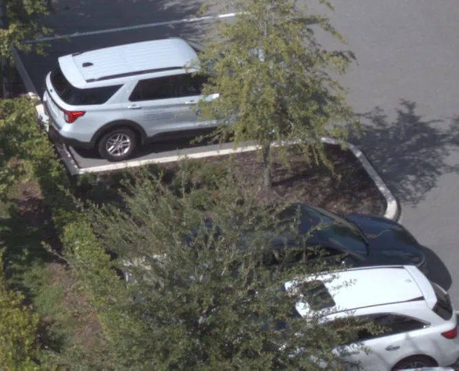
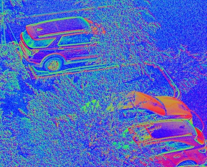
VyzAI is a drone sensor that measures the 3D shape of every surface it sees, passively, through one lens. On the drone it detects people and vehicles, gives each an ID, and ranges and places them on a map, fully passively.
Passive range of 60 to 150 m, shown in flight.
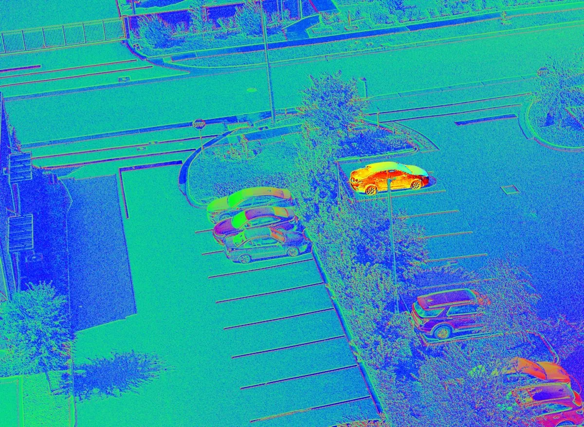
01 Mission view
Computed on the drone. This view is an illustration; the frames that follow are from the October flights.
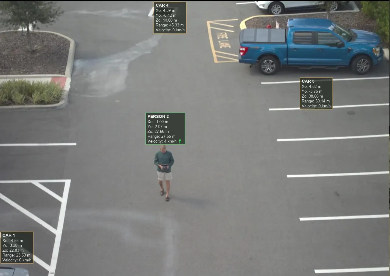
02 From the flight
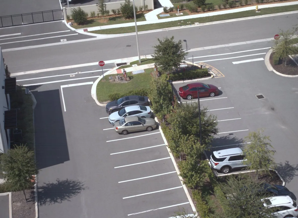
A frame from the October flights, labelled live.
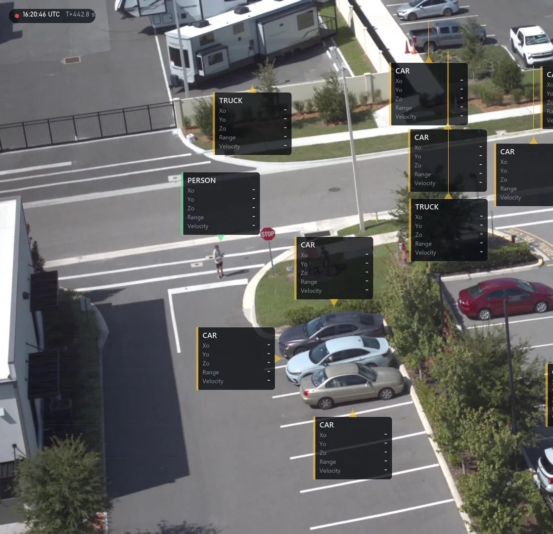
03 From the flight
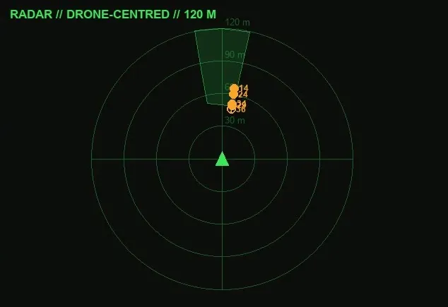
04 From the flight
Built from the same detections.
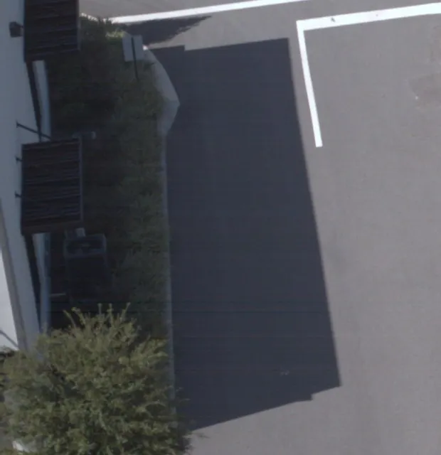
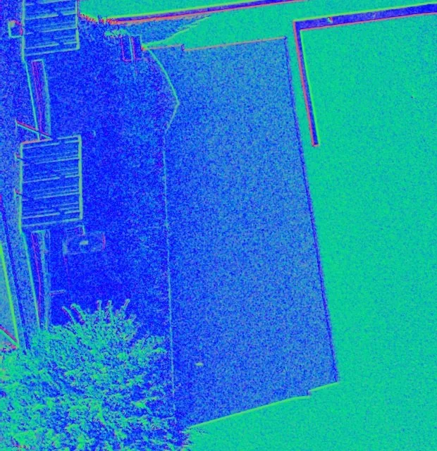
05 Why shape matters
Drag to compare.
06 The module
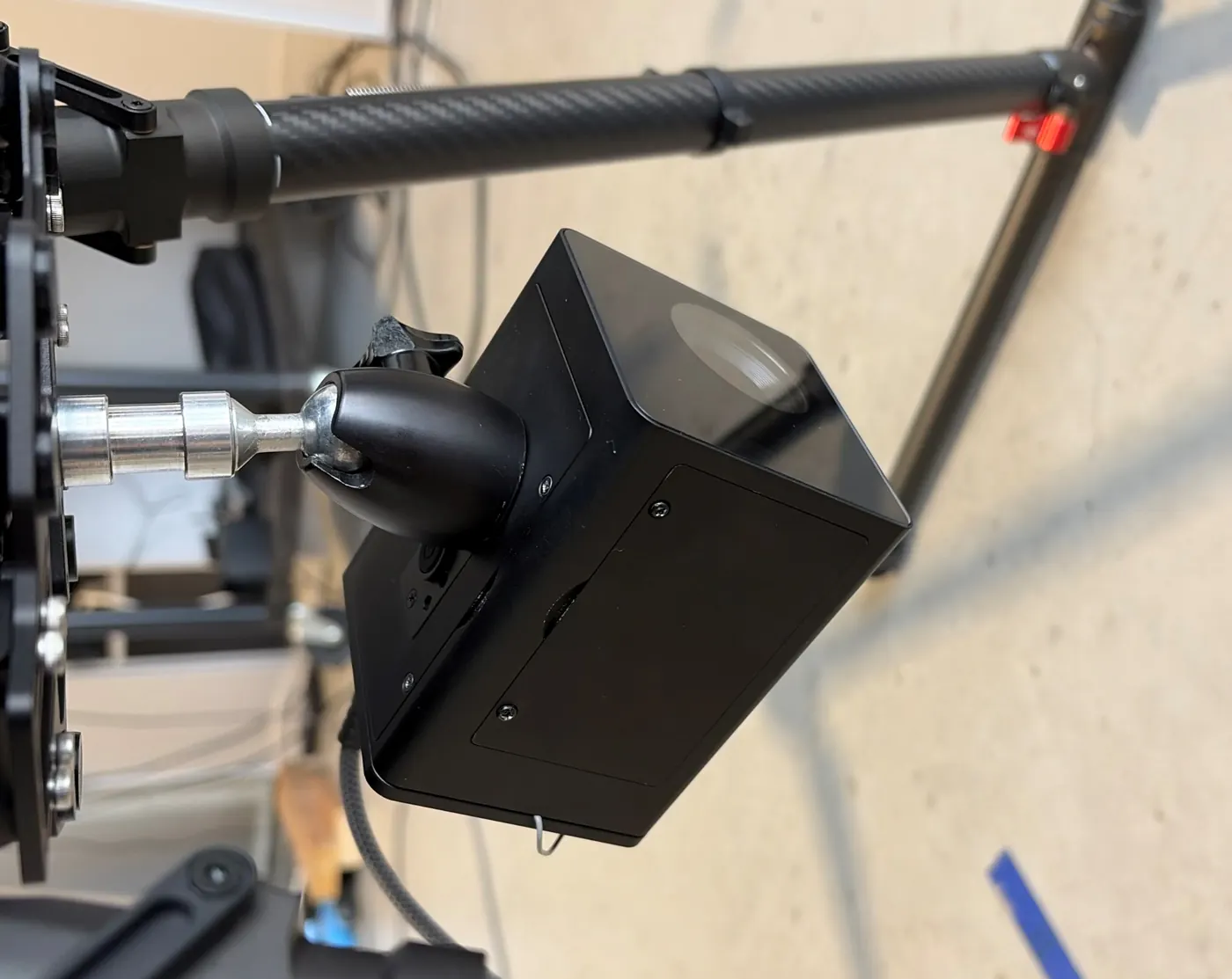
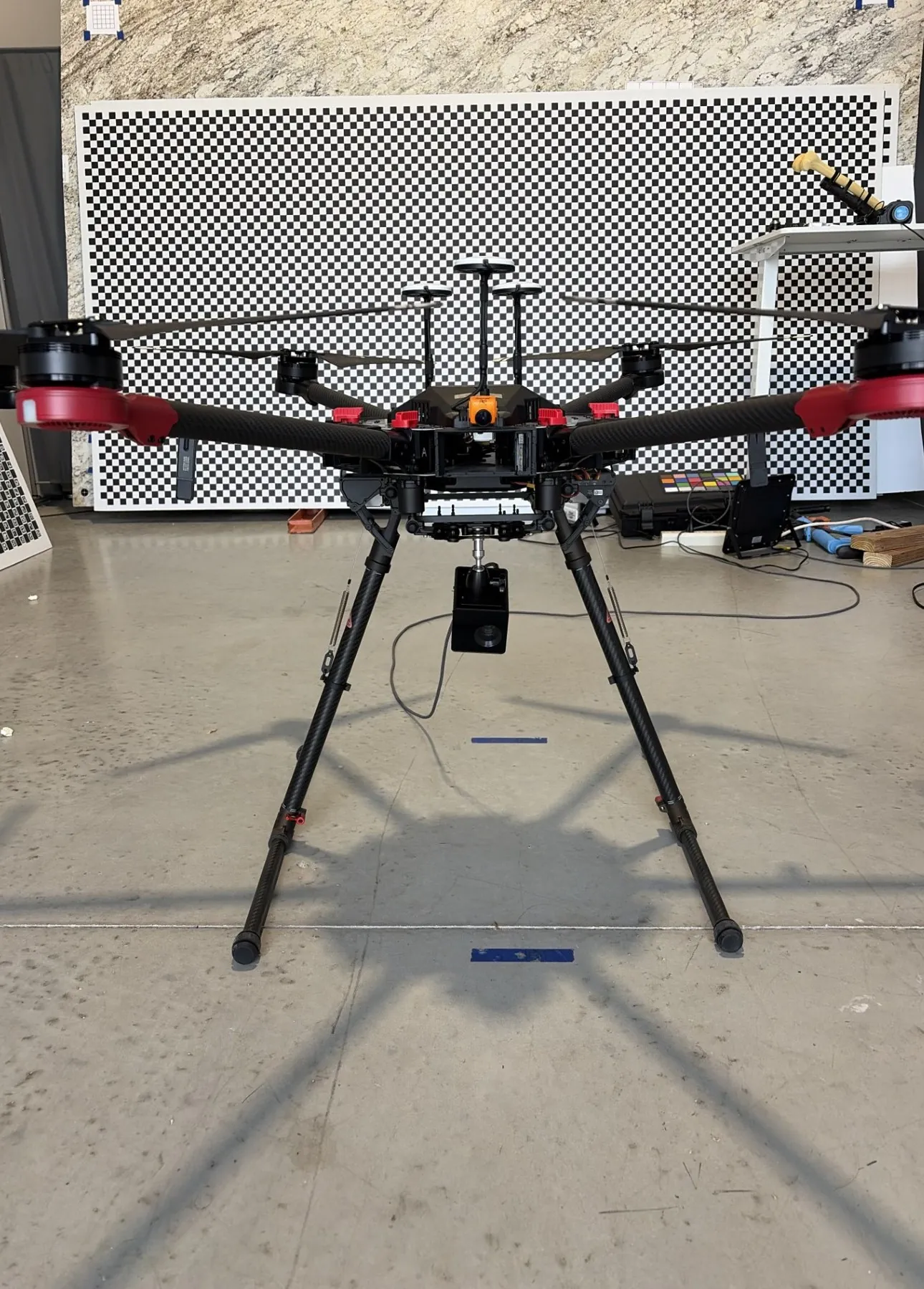
Its own processing, positioning, power and storage. It runs independently of the airframe. Daylight to low light, fully passive with no illuminator.
Built on Spatial Phase Imaging, a patented technology with decades of development behind it.
07 Flown and measured, October 2026
Flown on a commercial hexacopter.
61 to 147 m
Passive range
To people and vehicles, flying 24 to 35 m above ground.
13
Objects in one frame
Own height
No barometer
The unit measures its own height above ground every frame. Held for 1,691 frames in flight.
10 s
One level pass
Sets the scale for every distance.
08 In development
01
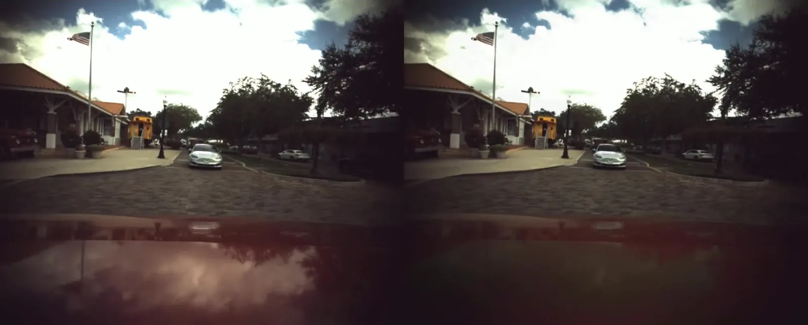
Running in real time on a ground-vehicle version, moving to the drone next.
02
03
04
09 Mission profiles
01
A self-contained payload with its own power, positioning and storage.
02
ID, class and range for every detection, computed on board.
03
Passive ISR, force protection and border security. Demonstrations and evaluation units available.
04
Public safety, security and inspection teams.
10 Request the detailed spec sheet
We'll reply to set up a short call, then share the detailed spec sheet and field data under a mutual NDA.
Brief received
This page is a preview, so nothing was sent. On the live site, we'll reply to set up a short call, then share the detailed spec sheet and field data under a mutual NDA.